O in short: DLL supports the development of geodetic software on various platforms by providing geodetic functions. GeoDLL contains precise calculations on the themes 2D and 3D coordinate transformationeasy
|
 Categories Categories |
|
|
|
|
|
GeoDLL English 13.15 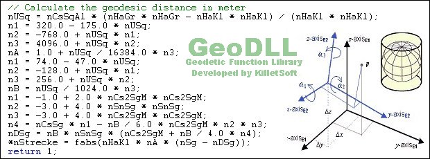
Click to enlargeDescription:GeoDLL supports the development of geodetic software on various platforms by providing geodetic functions. GeoDLL contains precise calculations on the themes 2D and 3D coordinate transformation, geodetic datum shift and reference system converting, meridian strip changing, user defined coordinate and reference systems, distance calculations, Digital Elevation Model, NTv2 handling and BeTA2007 support, Direct / Inverse solutions, map function and geodetic converting functions. The most important application of GeoDLL is to include professional coordinate transformations in own programs. These coordinate and reference systems are supported: 1. The current and many historical coordinate and reference systems of all countries of the European Union (EU) including the eastern extensions and the systems of the European non-EU countries. 2. The European ETRS89 systems forced by INSPIRE with respect to the continental drift. 3 .The US and Canadian State Plane Coordinate Systems (SPCS) and other systems of the North American continent. 4. Many coordinate and reference systems of the countries of all continents and the world-wide used coordinate and reference systems. 5. World-wide NTv2 grid file supported coordinate transformations. 6. The coordinate and reference systems of the old and new German Federal States, the 40 Prussian Soldner Land Registers, the German 'Lagestatus', special reference systems of the German Federal States and BeTA2007. 7. User defined coordinate systems, reference systems and earth ellipsoids. GeoDLL comes with extensive documentation and is supplied as DLL file or as C++ source code for 32bit and 64bit architectures. The DLL works with most programming languages and it can be used with Microsoft Office programs. The DLL is written in C++ and was developed with Microsoft Visual Studio 2010. Thus very fast performance, compact code and high stability are assured. The functions of GeoDLL are prepared for multithreading.
 | Price $ 630 / 500

Purchase GeoDLL English
Get it Now(to see additional options, click Buy Now) Type: Shareware File size: 1861 Kb Date: 09/04/2013 HomepageInstall support: Install and Uninstall OS: WinXP, WinVista, WinVista x64, Win7 x32, Win7 x64, Win2000, WinOther, Mac OS X, Windows2000, Windows2003, WinServer, Windows Vista Ultimate, Windows Vista Ultimate x64, WinMobile, Windows CE, Pocket PC, iPhone, iPod, Palm, WinME, WinNT 3.x, WinNT 4.x, Unix, Linux, Handheld/Mobile Other, Windows Tablet PC Edition 2005, Windows Media Center Edition 2005, Windows Vista Starter, Windows Vista Home Basic, Windows Vista Home Premium, Windows Vista Business, Windows Vista Enterprise, Windows Vista Home Basic x64, Windows Vista Home Premium x64, Windows Vista Business x64, Windows Vista Enterprise x64, Windows Mobile 2003, Windows Mobile 2005 System requirements: 800 MHz, 1GB Memory, 20 MB free Disk Language: German, English Recent changes in this Major Update:New coordinate and reference systems of China. Supports reference systems without datum shift parameters (no defs). Three new functions fà¼r enhanced 3D transformations. New projection American Polyconic. Supports INSPIRE, NTv2, BeTA2007, 32/64 bit architecture. | |
|


